Summary
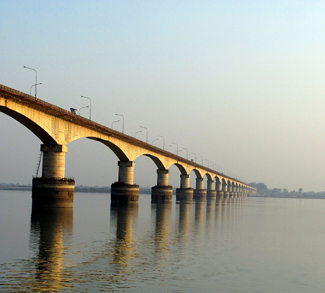
China has stopped sharing hydrological data with India for the Brahmaputra and Satluj rivers (Yarlung Zangbo and Satelai in Chinese). The move comes as India grapples with floods along the Brahmaputra in Assam and Uttar Pradesh, where over 150 people have lost their lives so far this season.
The two countries having been sharing hydrological data since a memorandum of understanding was reached in 2013.
The rationale for the data cutoff remains a bit of a mystery. A recent Global Times editorial trumpeted an expert opinion that India must withdraw from the Doklam Plateau before data sharing can resume, but the actual cutoff predates the Doklam Plateau standoff by months. According to Raveesh Kumar, spokesperson for India’s Ministry of External Affairs, India has not received any data from the Chinese side since May of this year.
There is of course the possibility that China held back the water data to give itself leverage in anticipation of an Indian response to road building on the Doklam Plateau.
Whatever the reason, this is a foreign policy linkage that will deeply disturb Indian policymakers. Large swathes of India’s northeast rely on the Brahmaputra’s waters for irrigation, and as the upriver power – China is holding all the cards.
Impact
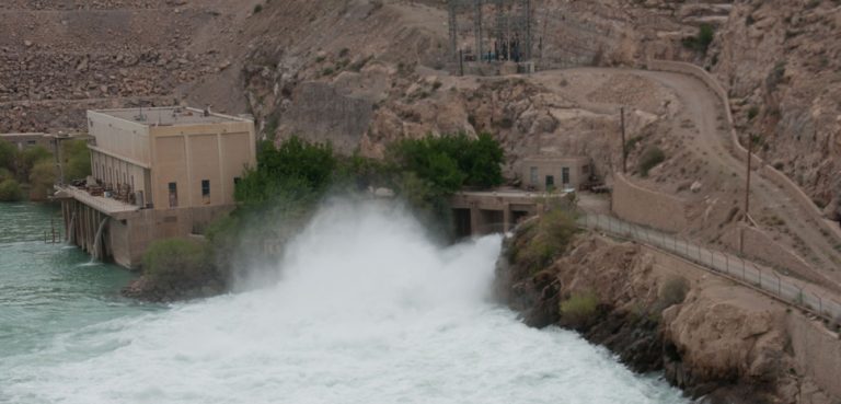
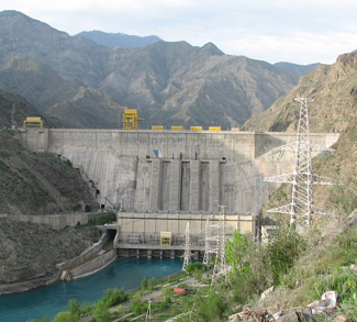
The Doklam Plateau is just a sideshow in India and China’s wider water conflict. Though the Doklam Plateau affair may be the most recent context for India-China water conflict, in the grand scheme of things it is just the latest chapter in a long-running saga. Like with other trans-border water conflicts around the world, everything boils down to how dam construction in upriver states can impact the economic and even security outlooks of downriver ones. Dam construction can impact downriver water flow, leaving less water available for downriver irrigation and human use; change ecosystems that downriver states rely on; and in the most extreme case create geopolitical leverage over downriver states by allowing upriver states to discharge water at will.


